


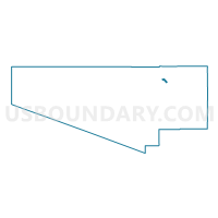
Voting District 14, Pima County, Arizona
About
Outline

Summary
| Unique Area Identifier | 525261 |
| Name | Voting District 14 |
| County | Pima County |
| State | Arizona |
| Area (square miles) | 3.99 |
| Land Area (square miles) | 3.99 |
| Water Area (square miles) | 0.00 |
| % of Land Area | 99.99 |
| % of Water Area | 0.01 |
| Latitude of the Internal Point | 32.33423930 |
| Longtitude of the Internal Point | -111.07170570 |
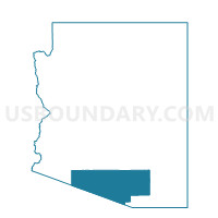
Maps

Graphs
Select a template below for downloading or customizing gragh for Voting District 14, Pima County, Arizona


Neighbors
Neighoring Voting District (by Name) Neighboring Voting District on the Map
- Voting District 104, Pima County, AZ
- Voting District 15, Pima County, AZ
- Voting District 150, Pima County, AZ
- Voting District 186, Pima County, AZ
- Voting District 223, Pima County, AZ
- Voting District 225, Pima County, AZ
- Voting District 275, Pima County, AZ
- Voting District 278, Pima County, AZ
- Voting District 344, Pima County, AZ
- Voting District 41, Pima County, AZ
- Voting District 411, Pima County, AZ
Top 10 Neighboring County Subdivision (by Population) Neighboring County Subdivision on the Map
Top 10 Neighboring Place (by Population) Neighboring Place on the Map
Top 10 Neighboring Unified School District (by Population) Neighboring Unified School District on the Map
- Tucson Unified District, AZ (472,675)
- Marana Unified District, AZ (86,614)
- Flowing Wells Unified District, AZ (30,010)
Top 10 Neighboring State Legislative District Lower Chamber (by Population) Neighboring State Legislative District Lower Chamber on the Map
- State House District 25, AZ (208,220)
- State House District 27, AZ (199,340)
- State House District 26, AZ (195,881)
Top 10 Neighboring State Legislative District Upper Chamber (by Population) Neighboring State Legislative District Upper Chamber on the Map
- State Senate District 25, AZ (208,220)
- State Senate District 27, AZ (199,340)
- State Senate District 26, AZ (195,881)
Top 10 Neighboring 111th Congressional District (by Population) Neighboring 111th Congressional District on the Map
Top 10 Neighboring Census Tract (by Population) Neighboring Census Tract on the Map
- Census Tract 44.27, Pima County, AZ (8,138)
- Census Tract 44.29, Pima County, AZ (7,398)
- Census Tract 45.06, Pima County, AZ (5,286)
- Census Tract 46.46, Pima County, AZ (4,028)
- Census Tract 46.13, Pima County, AZ (3,562)
- Census Tract 46.39, Pima County, AZ (3,389)
- Census Tract 44.18, Pima County, AZ (3,348)
- Census Tract 44.26, Pima County, AZ (2,726)